0 ROUTE 25
Owner Information
FLORINDO ANTONE J EXR
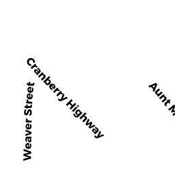
9 WEAVER ST
W WAREHAM, MA 02576


Property Details
0 ROUTE 25 is classified as a Undevelopable Residential Land (Vacant land).
0 ROUTE 25 is valued at $23,500. The land is valued at $23,500 and the structures are valued at $0.
This property is in Zone R60. Confirm with local Zoning Board authorities to ensure there are no overlays or other easements on this property.
The most recent deed for 0 ROUTE 25 is recorded at the local registrar in Book 1715, Page 0043. 0 ROUTE 25 was last sold on Tuesday, January 1, 1901 for $1.
Assessment data from fiscal year 2022.
Flood Data
According to the FEMA National Flood Hazard Layer, this property does not appear to be in a flood zone. It may also be in an area not yet reviewed. Nonetheless, confirm this information prior to taking any action.
To view the flood hazards around this property, create a FEMA "Firmette" Map of the area around 0 ROUTE 25.
Broadband Internet Providers
| Provider | Type | Bandwidth (mbps) | |
|---|---|---|---|
| Viasat Inc | Satellite | 35 | 3 |
| Verizon New England Inc. | DSL | 5 | 0 |
| Verizon New England Inc. | Fiber | 940 | 880 |
| Comcast | Cable | 1000 | 35 |
| GCI Communication Corp. | Satellite | 0 | 0 |
| HughesNet | Satellite | 25 | 3 |
| VSAT Systems, LLC. | Satellite | 2 | 1 |
Broadband service provider data from December 2020.
Adjacent Properties
- 0 ROUTE 25
All land designated under Chapter 61 (not classified as Open Space) owned by SLOCUM-GIBBS CRANBERRY CO - 0 ROUTE 25 OFF
Wet land, scrub land, rock land (Ch. 61A, not classified as Open Space) owned by SLOCUM-GIBBS CRANBERRY CO - 0 ROUTE 25
Undevelopable Residential Land owned by SULLIVAN JUDITH ANN - 0 ROUTE 25 OFF
Wet land, scrub land, rock land (Ch. 61A, not classified as Open Space) owned by SLOCUM GIBBS CRANBERRY CO - 0 TERRY LN
Improved, Selectmen or City Council (Municipal) owned by TOWN OF WAREHAM - 0 FONSECA WY
Undevelopable Residential Land owned by CORNERSTONE ESTATES 2